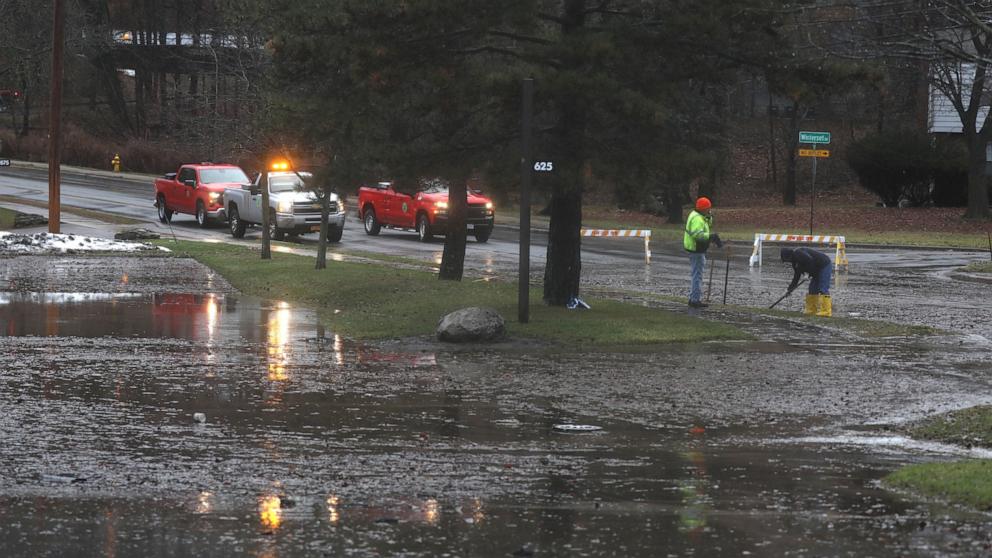
The eastern United States has been hit by severe weather this weekend, with flooding in the Southeast, rain in the Mid-Atlantic and snow in the Northeast.
This weekend, 25 million Americans from Atlanta to Washington, DC are under a flood watch as heavy rain, strong winds and frequent lightning threaten the US Southwest, while Alabama, Georgia and the Florida Panhandle are at risk of isolated tornadoes.
A Tornado Watch is in effect for the Florida Panhandle, including Tallahassee and Panama City, until 6pm CT. Moving storms are capable of developing damaging winds and possible tornadoes.
Another area of concern is northern Alabama. Storms there could produce damaging winds and tornado hazards Saturday afternoon into the evening. However, a watch is unlikely to be issued here, according to the Storm Prediction Center.
After nearly two months of rain in the past few days, parts of East Texas and Louisiana are still facing major river flooding.
The Trinity River northeast of Houston is currently in major flood stage — which is critical for catastrophic, life-threatening flooding — and is forecast to remain above flood stage through at least Wednesday.
This overall storm system will take a turn along the East Coast, bringing rain and snow to the wider area. Rain and snow will begin in the northeast early Sunday morning and continue in varying intensity through the day and into Sunday night.
Along the coast in the Northeast, precipitation will be dominant this weekend, but ground-level accumulation north of New York City will be difficult.
West and north of NYC will see the heaviest snow Sunday morning through midday Monday.
Winter warnings from northern Pennsylvania to southern New Hampshire Winter warnings are already starting to pop up in the Northeast.
Area, Pennsylvania to Boston will see 3-6″ of snow Sunday and Monday, affecting the Sunday evening commute and Monday morning commute.
Parts of New England, especially at higher elevations, could get up to 10″ of snow, including Hunter, New York and Pittsfield, Massachusetts.
The mid-Atlantic region, including Philadelphia and Washington, DC, is expected to see 1 to 3 inches of rain as high temperatures are reported.
Washington DC reached 80 degrees Friday for the first time in its 152-year meteorological history. Earlier, Feb. 21, 2018 prior to the 80 degree day.
West is currently dealing with the Atmospheric River. Washington and Oregon coasts could get a few inches of rain this weekend.
Because the soil is already mostly saturated, these periods of heavy rainfall can cause flooding of local waterways, including ponding in low-lying areas and poorly drained urban areas. Apart from flooding concerns, these rains can lead to an increase in rockslides and landslides.
Meanwhile, it's very hot on the West Coast. High temperatures are possible Sunday and Monday from San Francisco to Seattle, and include Medford, Oregon, Boise, Idaho, and Portland, Oregon.

